Foreign Travels
Exploring the unusual landscape of Curacao
Curacao
July, 2024
Where is the world is Curacao?
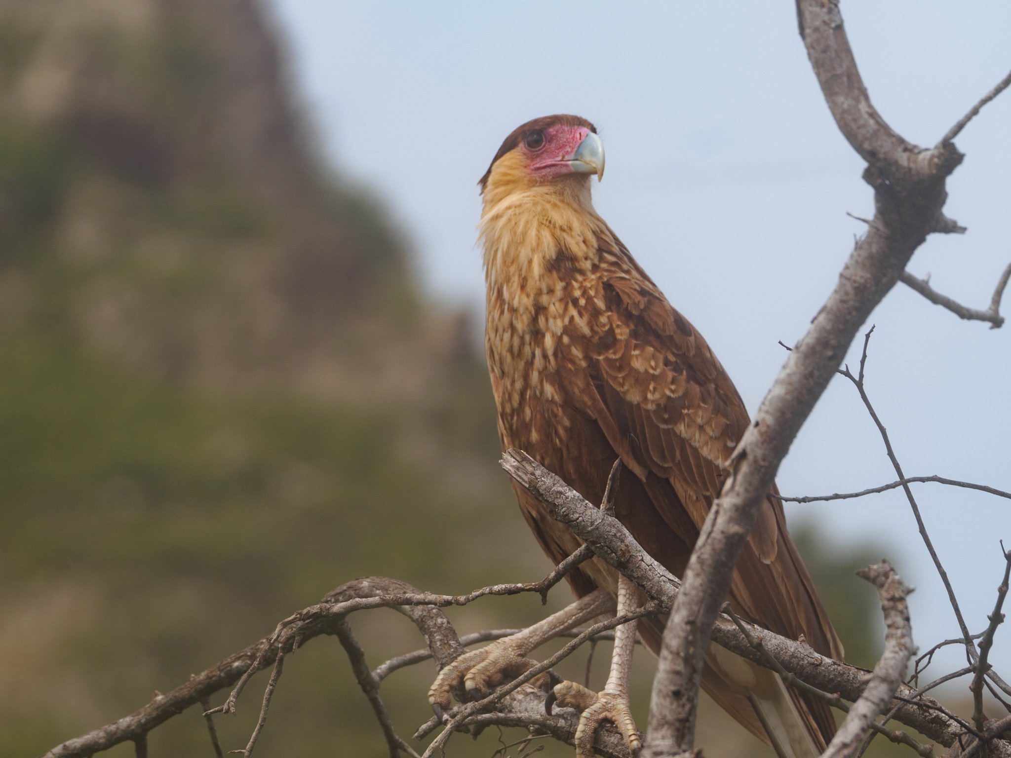
About 40 miles north of Venezuela in the southern Caribbean Sea. It is the lesser known of the “ABC” islands that include Aruba and Bonaire. Curacao is 30 miles long and 7 miles wide at its thickest point, with a population of approximately 160,000 people, 217 bird species, 500-plus plant species,
Originally inhabited by the Arawak people, the island was discovered by the Spanish in 1499. It later came under Dutch control in the early 17th century and has remained a constituent country of the Kingdom of the Netherlands since gaining autonomy in 1954.
Curaçao became a country within the Kingdom of the Netherlands after the dissolution of the Netherlands Antilles on 10 October 2010.
The highest point on Curacao Christoffelberg in the northwest, with a peak at 372 m (1,220 ft) above sea level.
Curaçao's flora differ from typical tropical island vegetation. Guajira-Barranquilla xeric scrub is the most notable, with various forms of cacti, thorny shrubs, evergreen, and watapana trees (Libidibia coriaria; called divi-divi on Aruba), which are characteristic of the ABC islands and the national symbol of Aruba


